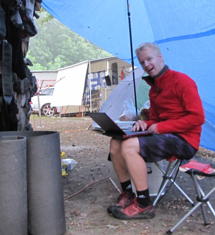
Well long time no see, here are News from Openmtbmap and Velomap again. I know it's been a long time, but I just didn't find the time to write down all the news during the last weeks. Largely responsible for this is also, that as I couldn't really do sports over the last 8 weeks, due to my ankle still not fully recovered, I fell into a bit of a motivationless hole. But well, in 1-2 weeks my ankle will have recovered so far, that I can go mtbiking, skiing and boarding again - I just hope that there will be another big fall of snow - like the last 2 days here in Vienna, where around 30cm of snow came down even downtown.
My main work during the last weeks, was focussed on bugfixing on the server side, and on making the maps for Mac OSX easier to use - here is now a guide for Dummies on Mac OSX
Thanks a lot for your Support - I promise to continue supporting Openmtbmap and Velomap as much as I can - even during bike trips:

So here the main visible changes over the last 6 weeks - additionally I did quite a lot of bugtracking on mkgmap and my build scripts - so that errors are less likely in case of corrupted data, or other crashes.
New Features / News :
-- After extending the Mac OSx downloads to cover all countries, just like the Windows Installers, I worked a lot on improving the format, and making the installation as easy as possible - also for those countries where it is not practical to put the contourlines into the same download package. So for all Mac OSx users - here is now a description for dummies - showing really every click you need to do: https://openmtbmap.org/tutorials/install-maps-mac-osx/
Velomap: avoid steps only with toll=yes, not with avoid unpaved roads...
Add dav_scale for corrections against sac_scale (not used much yet though...)
add place=isolated_dwelling
remove military from resolution 24 (will be shown in resolution 22 and 21 only - so huge military areas are less of an map obstruction)
Add amenity=clinic, add natural=hill, consider backcountry=yes for campsites, and tent=yes for caravan sites. Better naming of amenity=fuel
Remove cemetary=yes from polygons. Add waterway=canal, waterway=drain and waterway=stream also as polygon. Add back landuse=field - but show it very very decent (mainly visible on PC - too low contrast for GPS by default).
Consider vehicle:forward=no, and bicycle:backward=yes. Also consider bicycle=dismount
add highway abandoned / disused when analysing tags on roads.
water=pond resolution 23 not 22 (add exception).
Footways, better classification if not usable for bikes and make them less visible.
shop=sports and sports centre less visible (resolution 23/24 instead of 22).
Don't render leisure=* and tourism=* as wildcard anymore for unknown values. Added some more values (all top 20 included).
Add rules for Slovakia and Czech Republic for Kraj and Okres substitution.
Bugfixes:
update tinted background colour in high contrast typfiles (there was a typo that got copied over - only noticeable on newer GPS, older converted to white anyhow).
fix many bugs on the Mac OSx maps - mainly about address search.
fix bug mountain_pass=yes not rendered...
Fix Error that Asia Installation was not possible to send to GPS (mdx/mdr in registry but not actually present).


Leave a Reply
You must be logged in to post a comment.