Some further work on the overview map – and Peru as a new country

Well lets make the newsletter a bit shorter this time but keep it more uptodate. First of all, if you downloaded Fridays maps, there was a bug in the overviewmap content to be seen at all resolutions in Basecamp.  (the bug didn't affect the map view on the GPS devices, nor in Mapsource or Qlandkarte GT). This got fixed if you downloaded the maps on Saturday or later. So if you wonder about straight motorways appearing twice - there a gone again now. However a nice feature - of the background changing colour slightly depending on the resolution is gone now. Also the typfiles needed to be changed again (0x4b is now again the background).


For Mac OSx downloads, I renamed the downloads from COUNTRY.gmap.7z to COUNTRY_macosx.7z. This is only the name of the packed download. However if you did make a mistake and extracted the content not using "extract here" but "extract to "COUNTRY.gmap" the problem of macosx making automatically a kinda broken gmap installation package out of it is solved now. So if you unpack now to "COUNTRY_macosx" - then it will be recognized as a standard folder, which you can access normally and not recognized as a package.


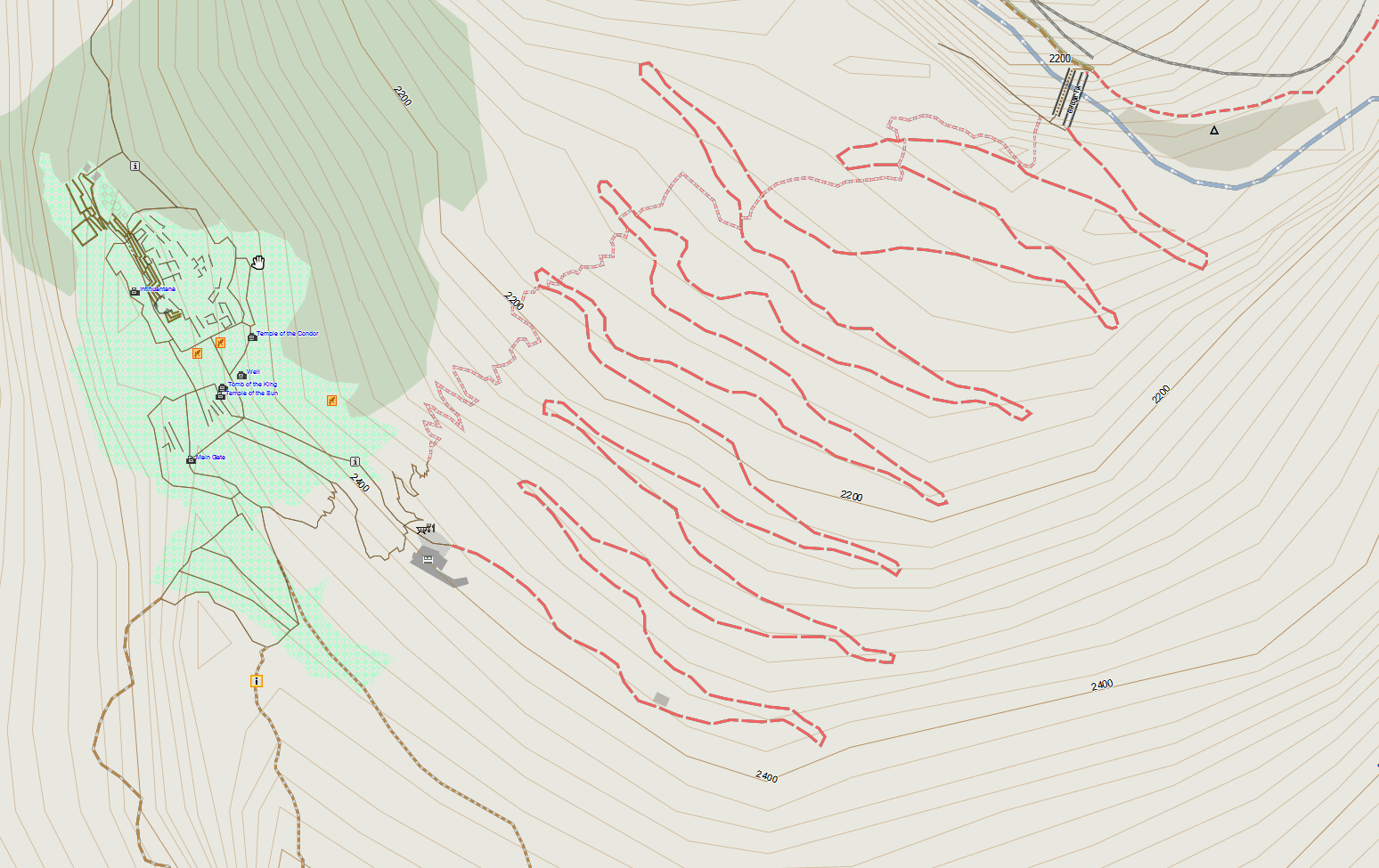
Since Geofabrik is offering a Peru country extract, Peru is available for download too now - so the most touristic countries in South America now all got their own country extract - less need for the full South America continent map download.


Also in my last newsletter, I forgot to mention that the full Asia continent contourlines are updated now, to a good quality standard. They are still too large to be integrated into the maps, but if you really need them, and know how to use them, they are good quality too now. Also the Himalaya contours extract is updated, covering a larger region than before - and slightly better quality.


Next Thursday I fly for 5 weeks to Santiago de Chile. Twould be nice to go mountainbiking there (though I will need to rent a mountainbike), so if anyone openmtbmap user lives in or aroung Santiago, I'ld be happy to hear from you. I won't go there for holidays though, I'll be working from a co-working space, and try to push Openstreetmap / Openmtbmap and bicycle/mtb information there a bit.


Famous Machu Picchu in Peru  - still some mapping to be done:

Map Updates – new Installer, Overviewmap, and much more

Well first of all, sorry for not informing about changes over the last month. I simply always wanted to wait for some more steps, before writing about them - and so this post will get quite long.

Most noticeable is that the maps now come with a simple overview map - so when zooming out in Mapsource, Basecamp or Qlankdarte GT, the map doesn't go blank at some point anymore, but shows cities and country borders, no matter how far you zoom out. This also heavily speeds up showing of the map when zoomed out far. It's not perfect yet, because the overview map has only one level, but I hope in future mkgmap offers more possibilities here.


Second big improvement - is that I completly reworked the Windows installer for the Europe map, and all maps which have contourlines as an external download. Now the installer asks for providing any other (optional) files and will unpack them into the right place. I also hope, that this relieves me from answering questions why sending maps to the GPS fails, or why the map is blank - both of which cost me quite a lot of time. Unfortunately yester (Monday) the mtbeurope.exe was broken till 14:00 CET - and the mtbeurope.7z just didn't make it for the download server sync, so please download it again today, if you downloaded it yesterday.

If you cancel installing the contourlines - or the map data the installer will try to never break something, but installation should be easy and straightforward. In case the contourlines exist already - the installer will not need to unpack them again. Should I ever update the contourlines the installer will make sure to remind you about it, however for everyone still using contourlines pre October 2012 (contourlines v1) this won't work - so please download newer contourlines.


With the housenumber address search, a new bug appeared, so I had to change some line types - for everyone using an adapted typ-file - please make sure to notice the new types: 0x1060d, 0x1060f, 0x1061b, 0x1061c, 0x1061d for both Openmtbmap and Velomap. Plus 0x10019 and 0x1001a only for Velomap. This should fix some very seldom case that the routing coudln't route to some addresses.


So I hope the maps give you lots of fun, spring is coming and everywhere I look I see cyclists and mountainbikers. Whising everyone a good start into the biking season.


Other significant Changes over the last 6 weeks:

Nonconnected single pieces of roads are not routable anymore, they could break routing sometimes.

removed fenced=yes.

place=town, place=village and place=suburb on areas or relations is now rendered as urban area (lighter color than residential area, but still distiguishable from the background)

some improvements on the easy layout (unclassifieds / primaries

make trunk roads routable, if bicycle=no is not given. Make motorways routable if bicycle=yes is given...