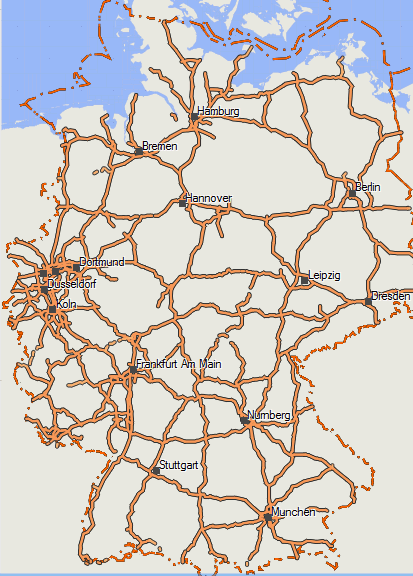
Well I must say, I'm sorry but I have been really lazy about posting news of the maps. I always thought - let's implement this feature - then post a big long news article - and well I never got to do that...
So let's split it up into several news posts summarizing the changes over the last year.. Lets start with a list of added Countries and continent maps over the last 14 months:
New Countries where you can get your favorite Garmin maps to Mountainbike...
Antarctica - well there is not much coverage in OSM here - but it was the last missing continent. Of course with contourlines
and Greenland.
Asia - contourlines are now integrated into the installer. Otherwise there is a lot of new Asian countries which I recommend instead because it's a huge download (especially the contourlines at around 9GB)..
French Dom Tom:
- Guadeloupe
- Guyane
- Martinique
- Mayotte
- Reunion
in Africa: Cameroon, Sierra-leone
in Asia: Bangladesh, Jordan, Lebanon, Russia-asian-part, Sri-lanka, Syria, Bangladesh, Jordan, Lebanon, Russia-asian-part, Sri-lanka, Syria
in Australia-oceania: Fiji
Other Big Changes Part 1 - Internationalization and Unicode:
Since about 1 months all maps of countries that are not by default using latin script - are in Unicode. This means that a map can have e.g. both cyrillic script and latin script. Before often in such countries there were many characters showing as "?" Questionmark or just a box. After doing a lot of work on this - I have now the maps if available in OSM bilingual. If you search for a city - you can search by the english name, or by the local name. Only in the address search you will need to use the local name for searching an address. In general if an english (or sometimes French, German, Durch, Spanish, Italian, Danish) name is available in OSM database - then the name will be: English name (local name). E.g. Běijīng (北 京市). In countries where I assume translation is not necessary (e.g. European countries using latin script) - only cities are translated as a second point. So you can search for Munich as well as for München in the city search. For address search of your you need the local name - so use München.
I hope that in future I can have all maps in non latin script using countries also transliterated like international name, if no international name avalaible then transliterated (local name).
There is one catch however - old GPS units - like Vista HCx or GPSMaps 60 series - cannot show unicode maps properly. They will only show the international names if available. That's why I hope especially to get a transliteration in any case at least for city names (let's see about street names) in the coming months. But currently this is not possible.
More updates of what has changed, in the next few days...


Recent Comments