Herzlich willkommen auf OpenMTBMap.org - Hier bekommst du die weltweit beliebtesten Karten zum Mountainbiken. Über 4000 Besucher informieren sich hier täglich über jene Karten, welche Dir die besten, schönsten Wege für DEIN Fahrlevel zeigen.
Gute Gründe die OpenMTBMaps zu benutzen!
-
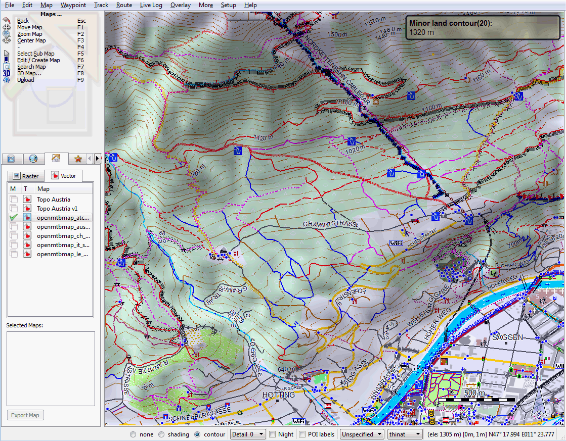
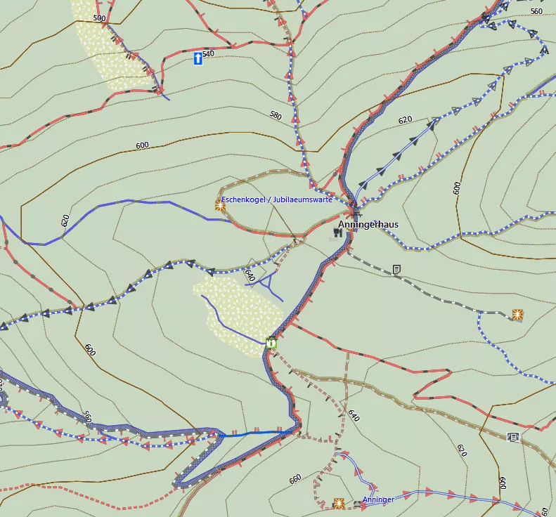
6 Unterschiedliche Kartenlayouts: Fünf kontraststarke Layouts für beste Ablesbarkeit auch bei wechselnden Lichtbedingungen am GPS - etwa zum Wandern oder zum Mountainbiken. Ein Kartenlayout für die Planung am Desktop. Siehe auch Kartenlegende oder Screenshots am GPS. oder Screenshots am Dekstop.
-
Nicht nur Wegart sondern auch Befahrbarkeit klar ersichtlich: Die Karten zeigen deutlich mehr Details wie alle anderen Karten die es bisher zum Wandern oder Biken gibt. Etwa die Schwierigkeit von Wegen mit Pfeilen bergab und separat bergauf.
-
MTB & Wandern & Radeln relevante Informationen wie Trinkwasser, Berghütten, Wegweiser, City Bike Stationen oder Fahrradshops suchbar und prominent dargestellt. MTB- & Wander- & Fahrradrouten neben den Wegen dargestellt je nach Wichtigkeit.
-
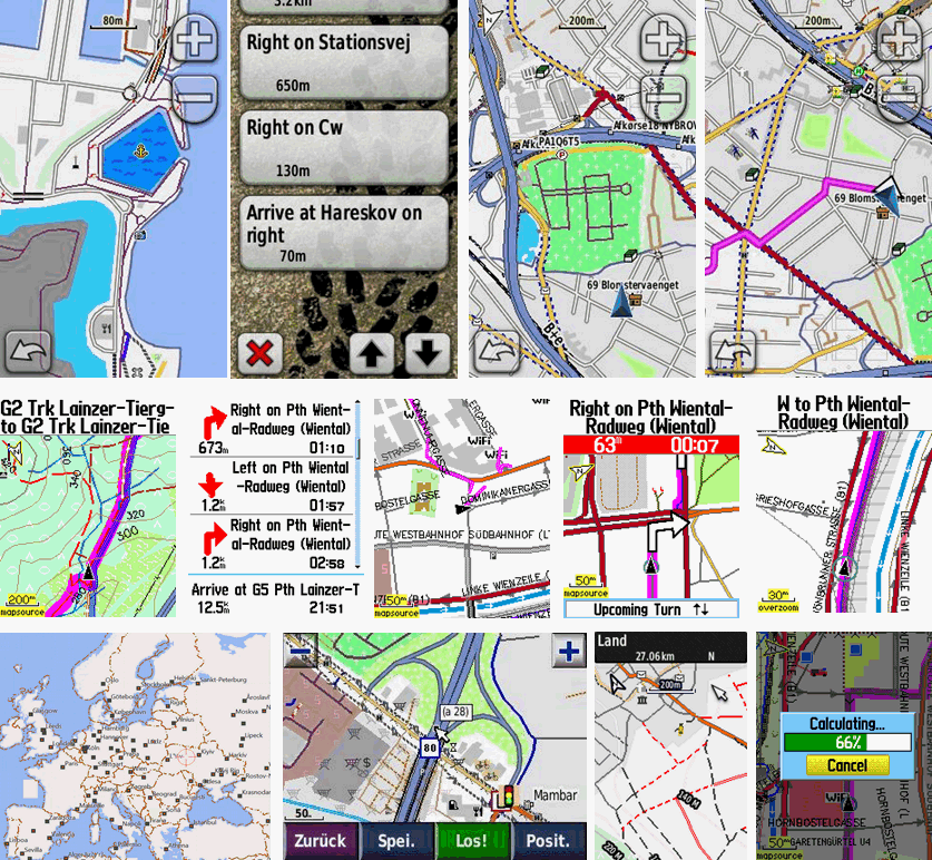
Navigation & Autorouting für Mountainbiker, Wanderer und Radler nach exklusiv in OSM aufgenommener Attribute (wie tracktype, mtb Schwierigkeit nach der Singletrailskala, SAC Skala, touristischer Routen, Berücksichtung spezieller Straßenregeln für Fahrradfahrer (etwa Fahrstreifen gegen die Einbahn) oder der Eignung zum Fahrradfahren allgemein) um die beste und nicht die schnellste Route zu berechnen.
-
Einfache Installation für Garmin Mapsource, Garmin Basecamp oder Qlandkarte GT um Touren und Tracks am Desktop zu planen und mit denselben Karten am GPS nachzufahren.
-
Höhenkonturlinien basierend auf den hervorragenden Daten von viewfinderpanoramas.org - integriert für fast alle Karten. Deutlich genauer wie die normalen benutzten void filled SRTM 3" Daten
-
Hilf mit die Karten weiter zu verbessern! Da die Karten auf Openstreetmap Daten basieren, und einmal wöchentlich geupdated werden, kannst DU mithelfen die Karten zu verbessern, Wege oder POI anzulegen, oder einfach nur deine Tracks hochladen.
-
Gute Dokumentation da alles was man zum benutzen der Karten wichtig ist auf OpenMTBMap.org erklärt wird. Hilfe zum loszulegen - Erste Schritte und lade die Karten deiner Wahl runter. Die Karten werden wöchentlich geupdated! Mac OSx Tutorial hier
-
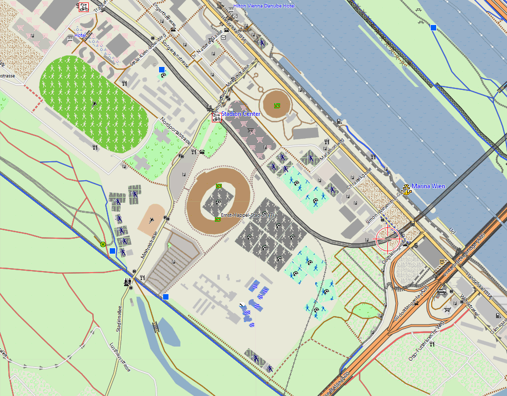
VeloMaps: Wenn du die Karten nur zum Fahrrad / Rennradfahren benutzen möchtest, biete ich die ähnlichen VeloMap. Die Velo Map ist zum Radeln übersichtlicher, da weniger Wegkategorien unterschieden werden, sowie ist das Autorouting stärker auf Nebenstraßen und Fahrradrouten, anstelle von Trails und Forststraßen ausgerichtet.
Für wen sind diese Karten gedacht?
Primär für Mountainbiker, Wanderer und Fahrradfahrer, die übersichtliche und detailreiche Wander- / Mountainbike- / Fahrradkarten suchen. Umso mehr natürlich für Besitzer von Garmin GPS. Auf deinem Phone oder PDA kannst du mit Garmin Mobile XT oder Glopus die OpenMTBMaps darstellen.
Nicht nur am GPS/PDA/Phone sondern auch am Desktop können die Karten angezeigt werden. Neben Garmin Mapsource (Windows only) und Basecamp (Windows & Mac OSx) kann auch das Opensource Programm Qlandkarte GT (Linux, Windows, Mac OSx) die Karten hervorragend darstellen. Qlandkarte kann die Karten sogar transparent über Rasterkarten darstellen (leider ohne POI/Adresssuche oder Autorouting)
Über OpenMTBMap.org
Als ich die Website im April 2009 gestartet habe, mit der Intention, dass mehr Mountainbiker bei Openstreetmap.org mitarbeiten, waren die Informationen zu Schwierigkeitsgraden von Trails noch dünn (nicht einmal 1000 Trails hatten MTB spezifischen Attribute), obwohl Openstreetmap nun schon seit 2004 existiert. Die Erfassung der Kartendaten geht nun aber immer schneller voran, und über 300.000 User weltweit haben inzwischen Account bei Openstreetmap.org und arbeiten an den Karten mit. Über 80.000 Trails, großteils in Europa, sind inzwischen für Mtbiker klassifiziert.
Täglich besuchen zwischen 2000 -5000 Besucher OpenMTBMap.org, und die meisten laden auch gleich Karten herunter. Es freut mich, dass OpenMTBMap zum Unterstützen der OSM so eine große Akzeptanz gefunden hat. Ich werde weiter daran arbeiten, dass die Karten besser werden, denn es gibt natürlich noch einiges zu verbessern. Ich hoffe, dass im Gegenzug neue Mitstreiter für die größte freie Weltkarte - die OSM - gewonnen werden.

Letzte Kommentare